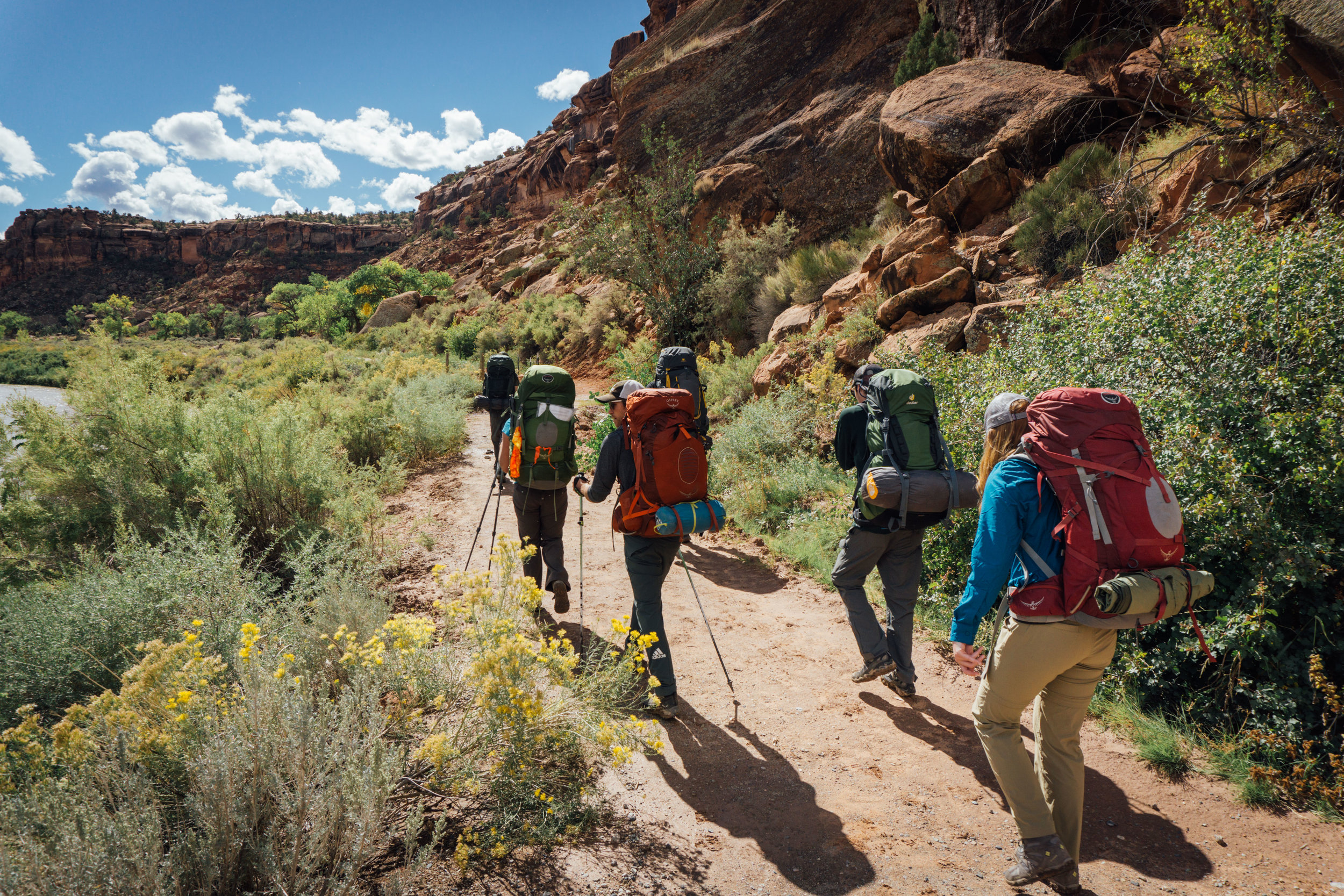
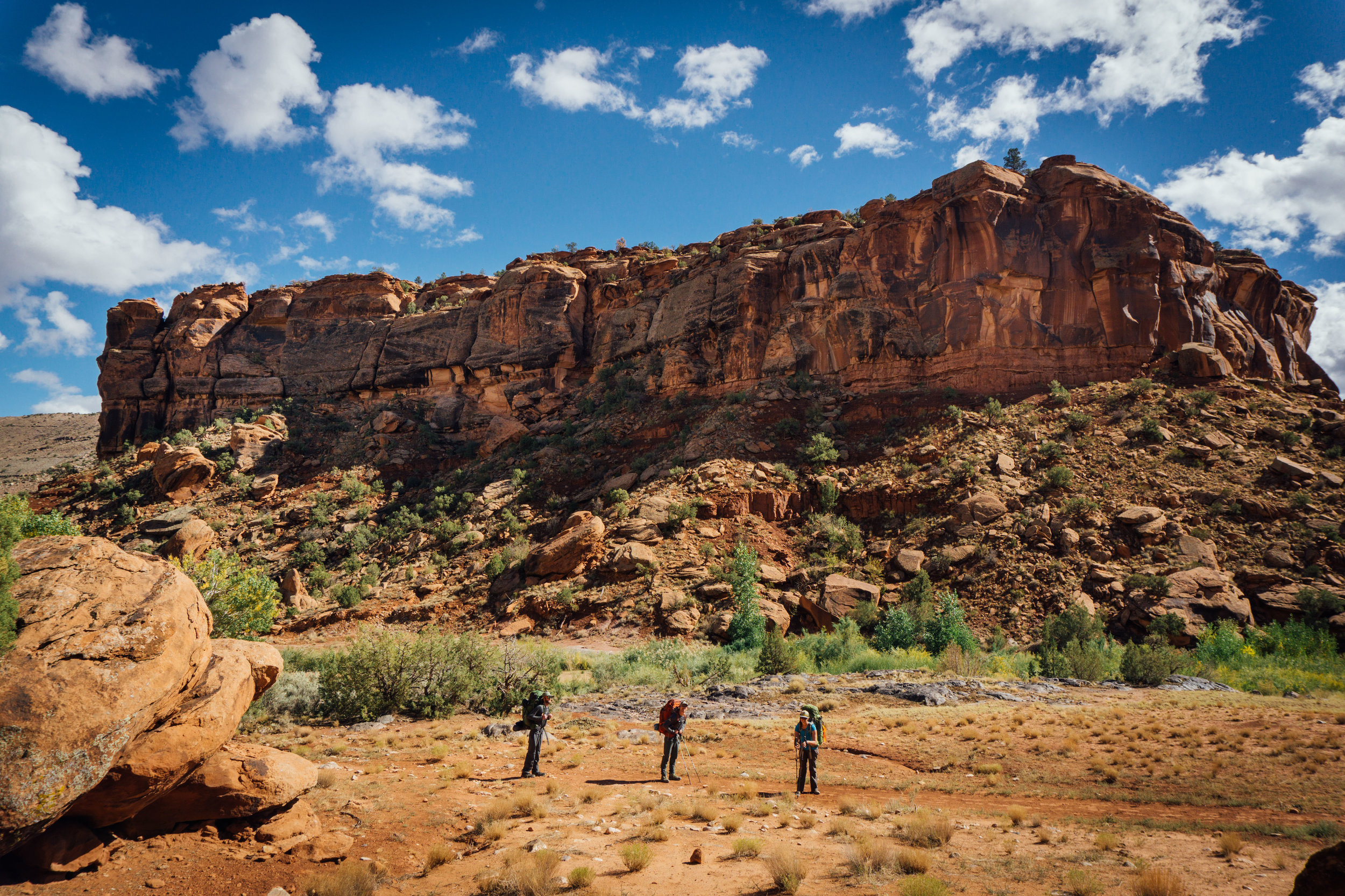
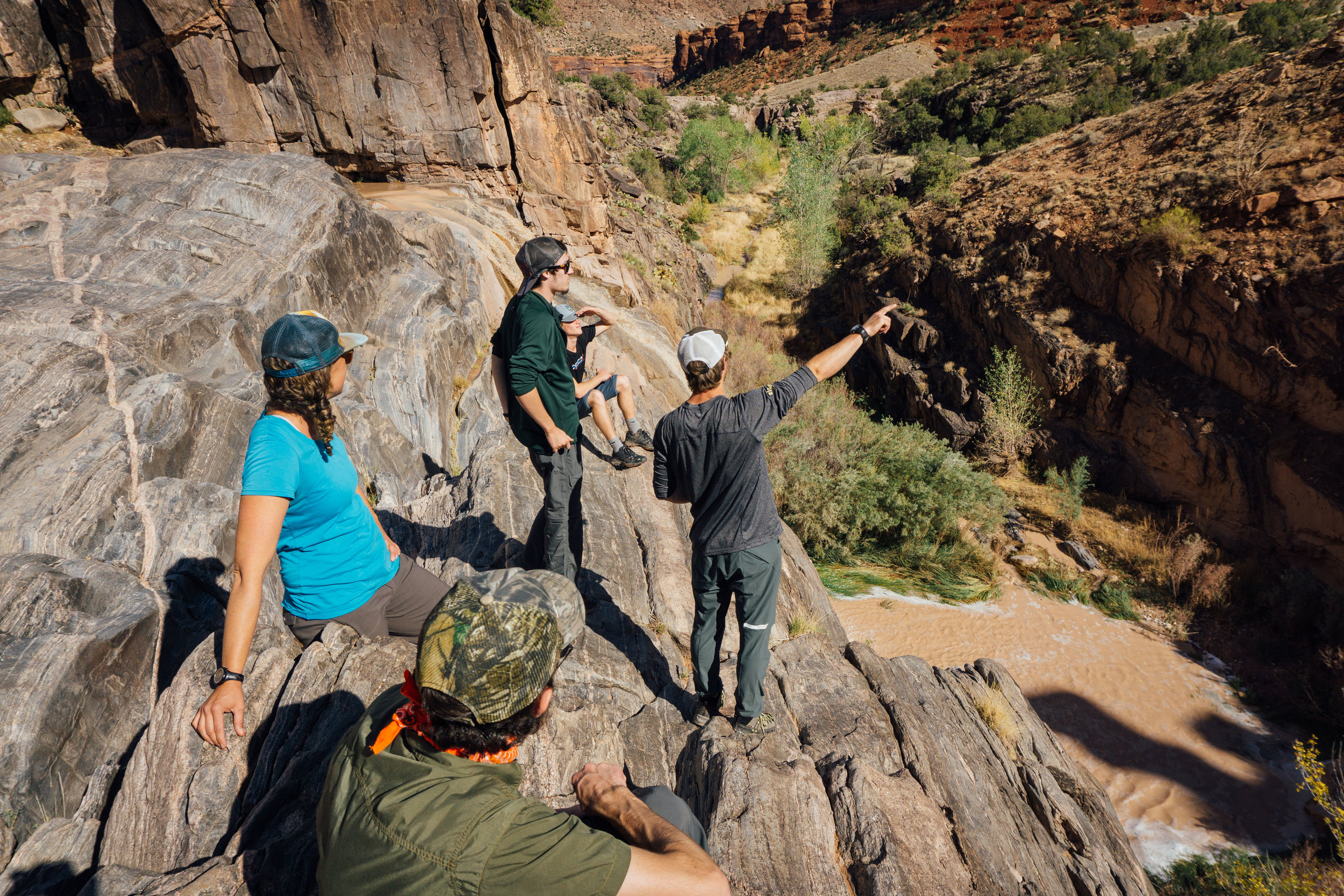
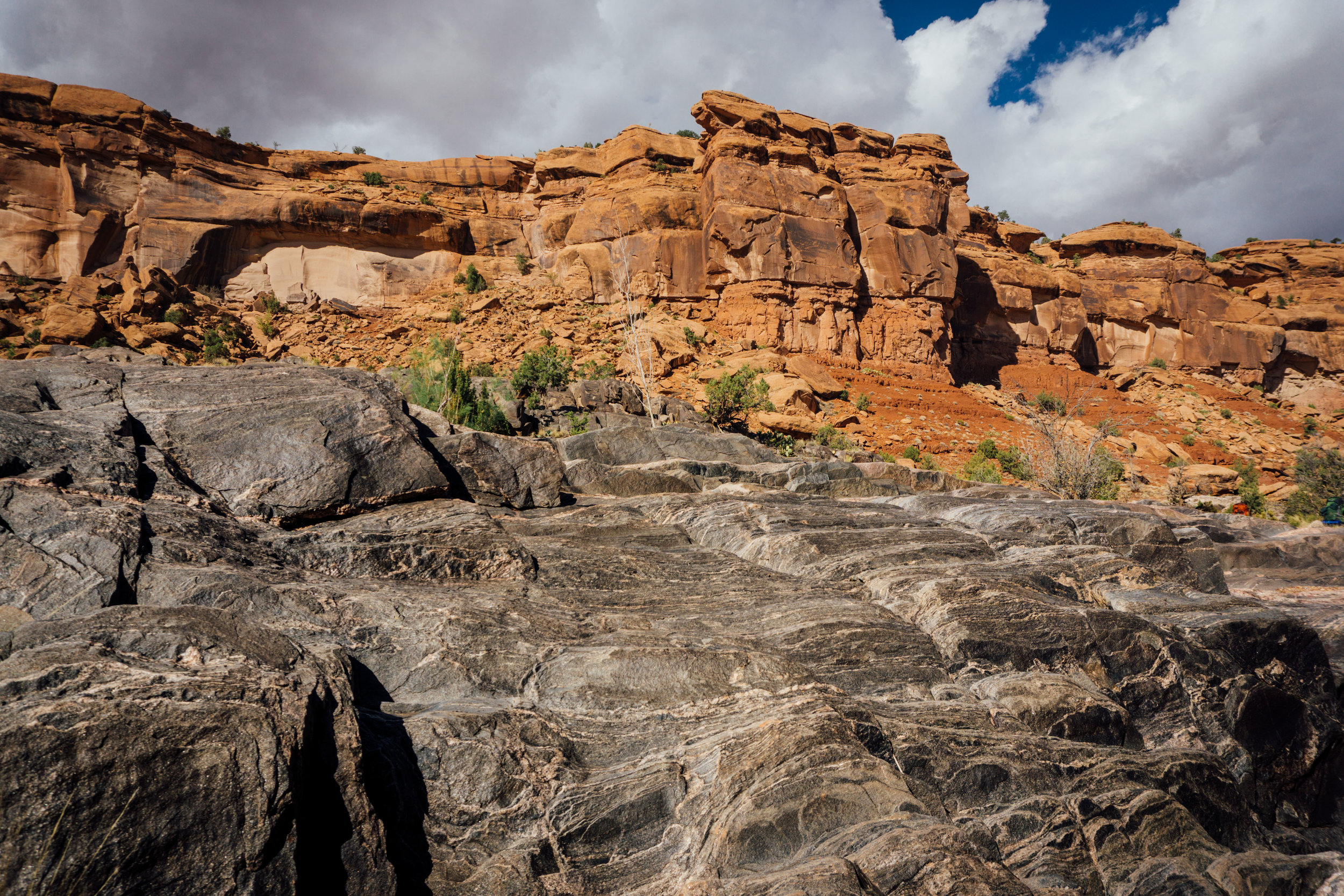
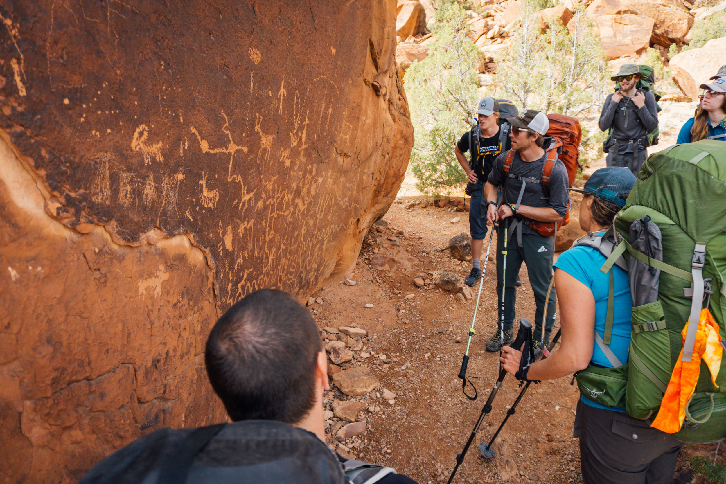
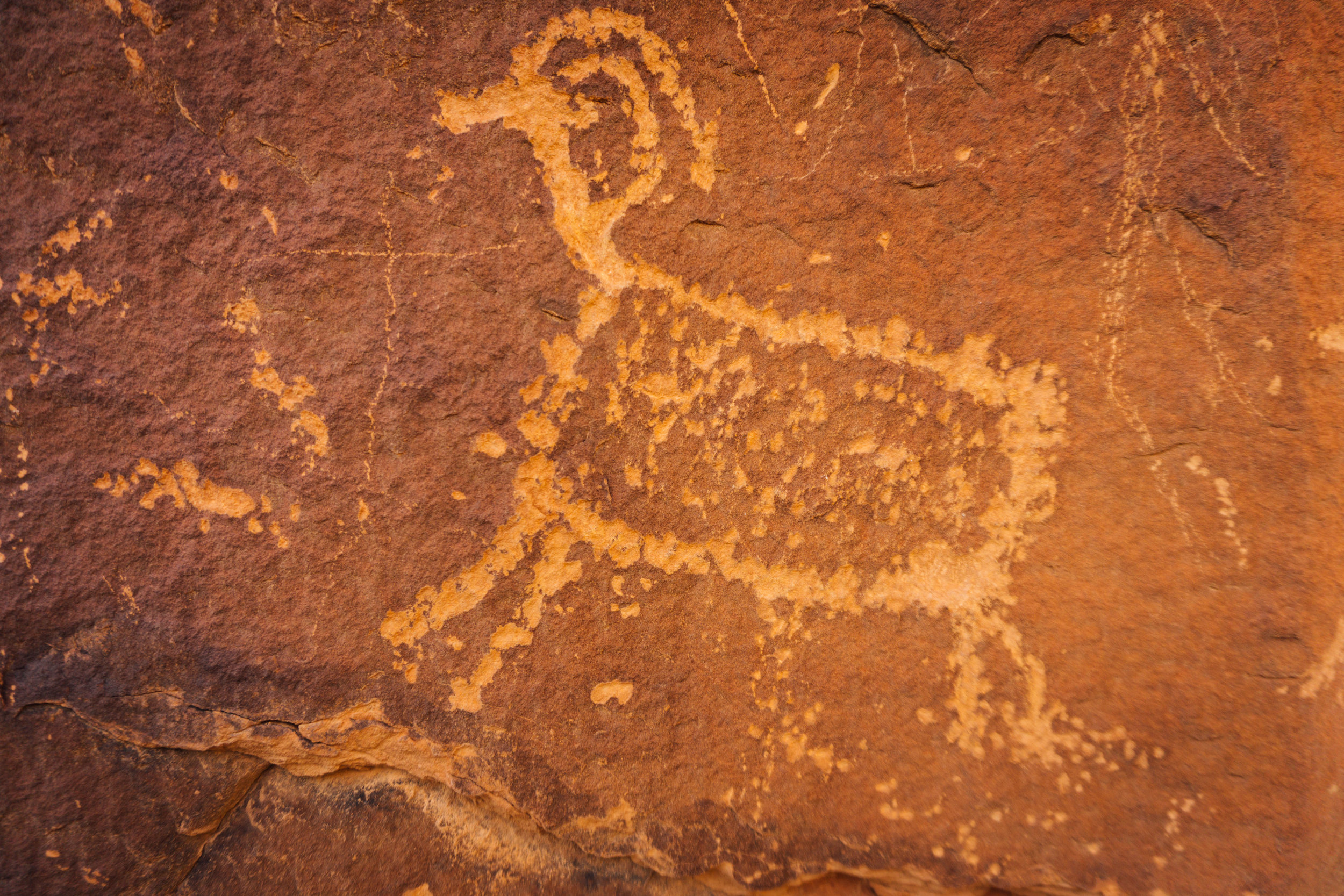
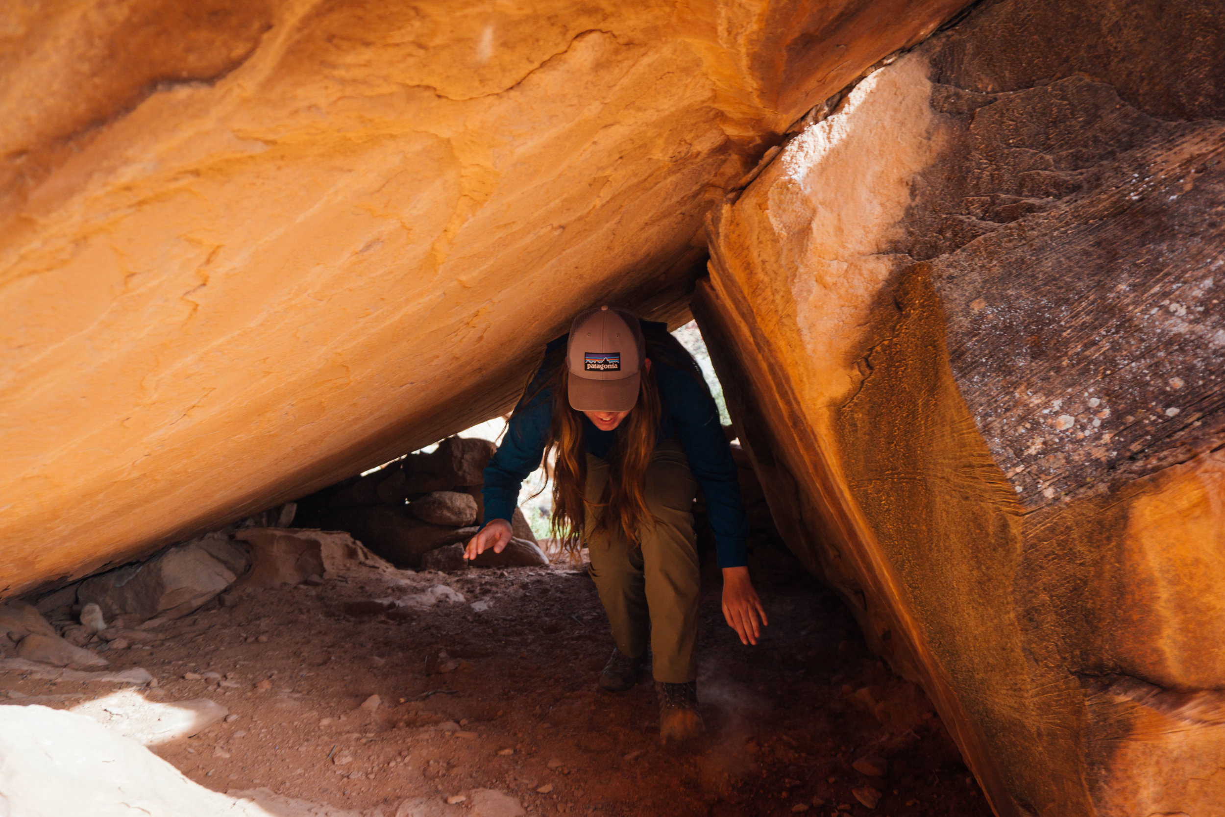
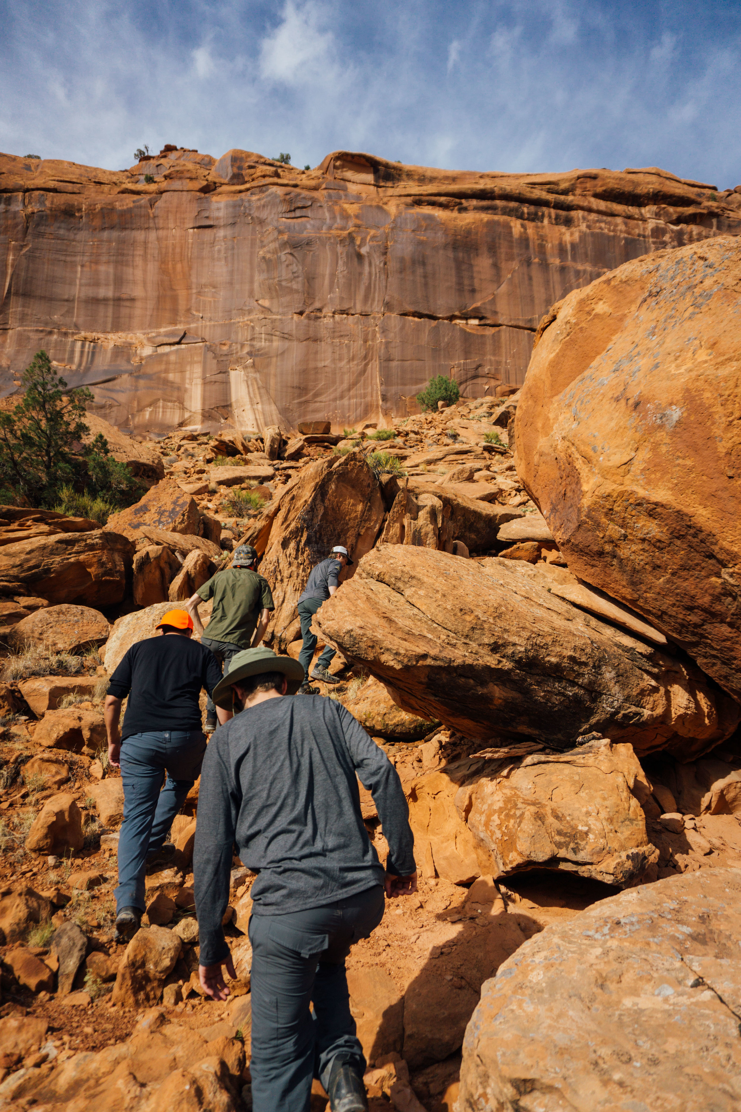
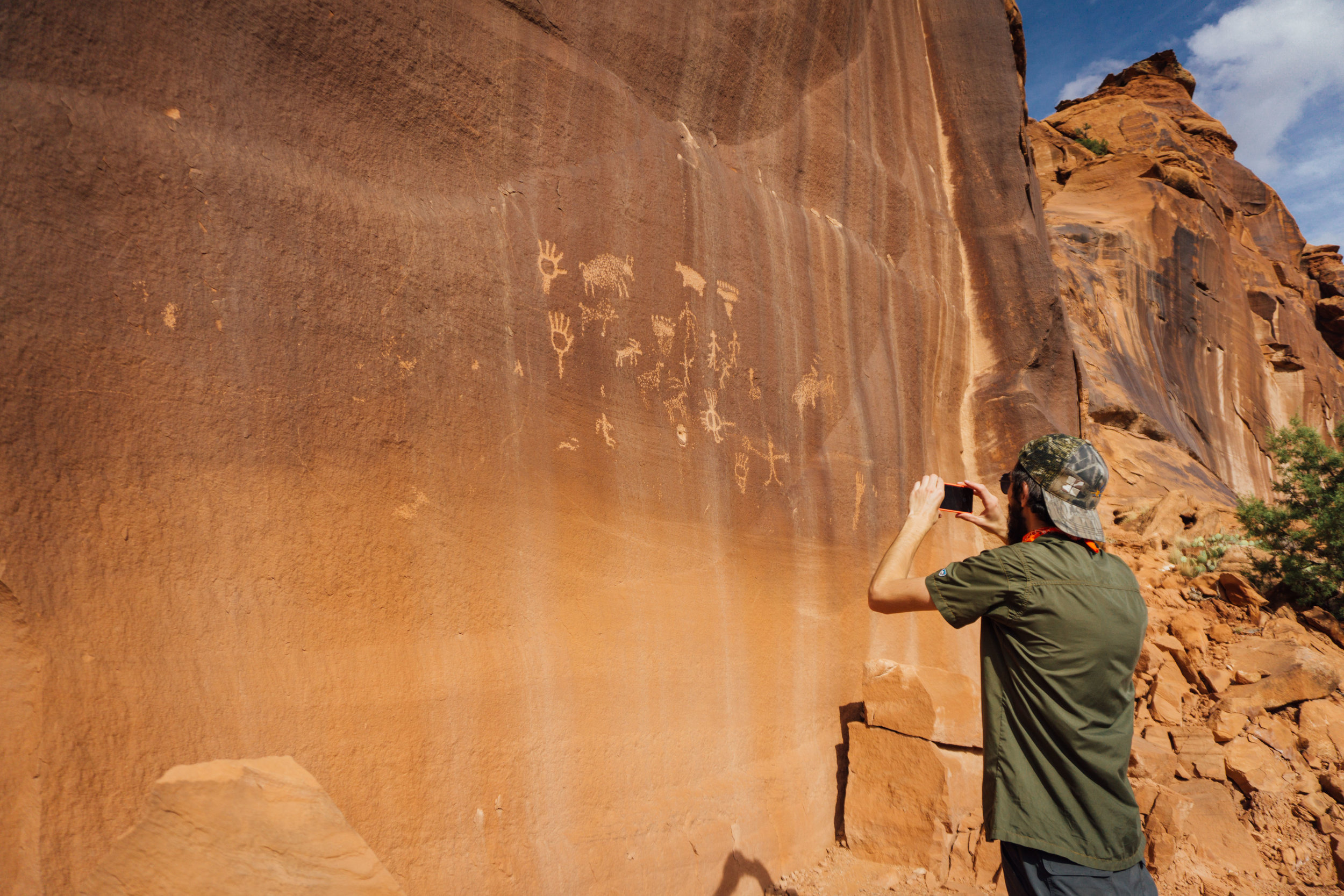
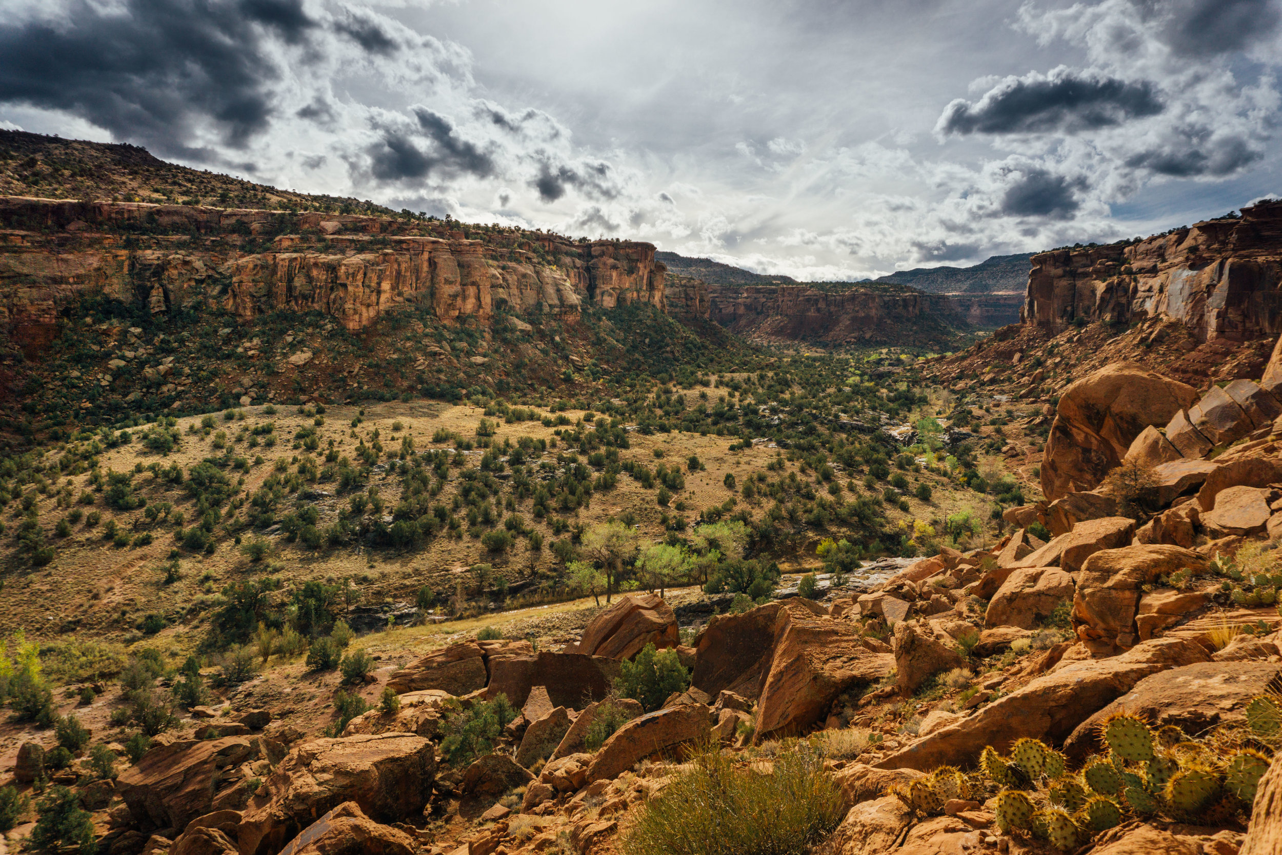
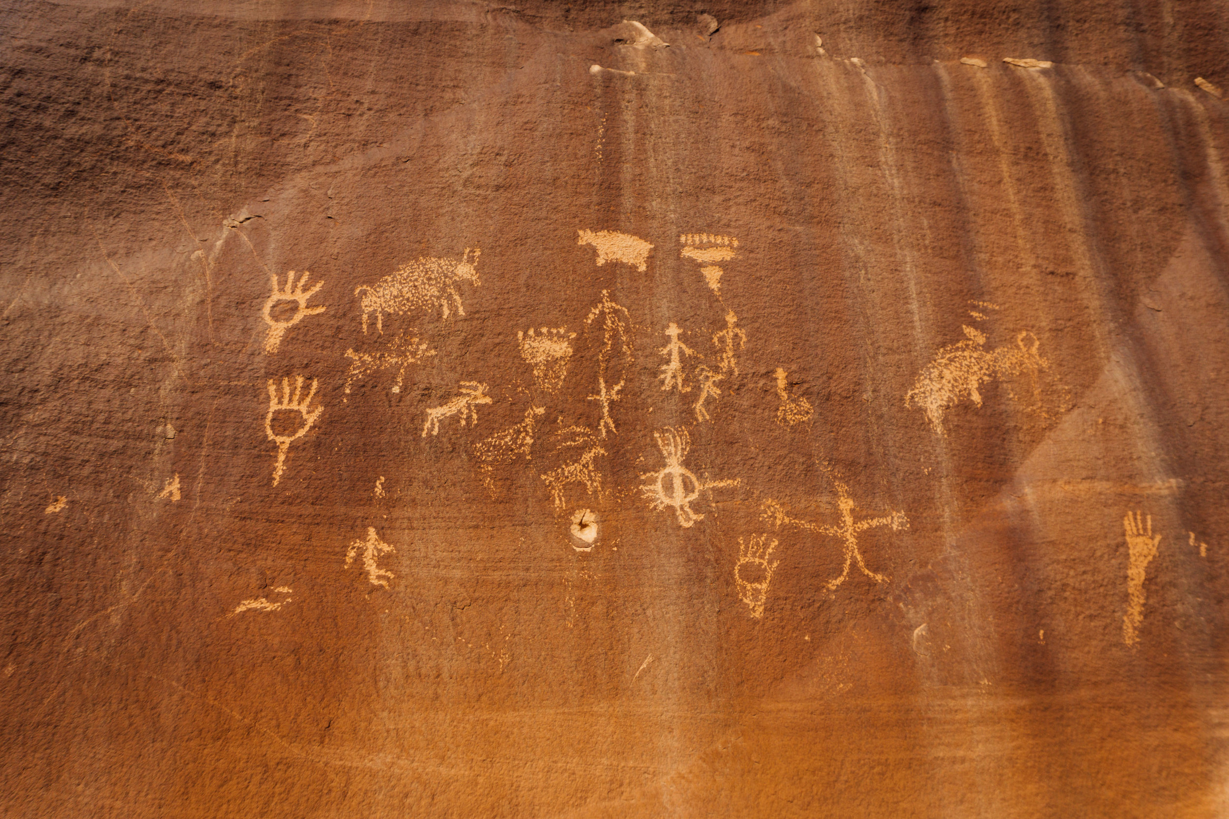
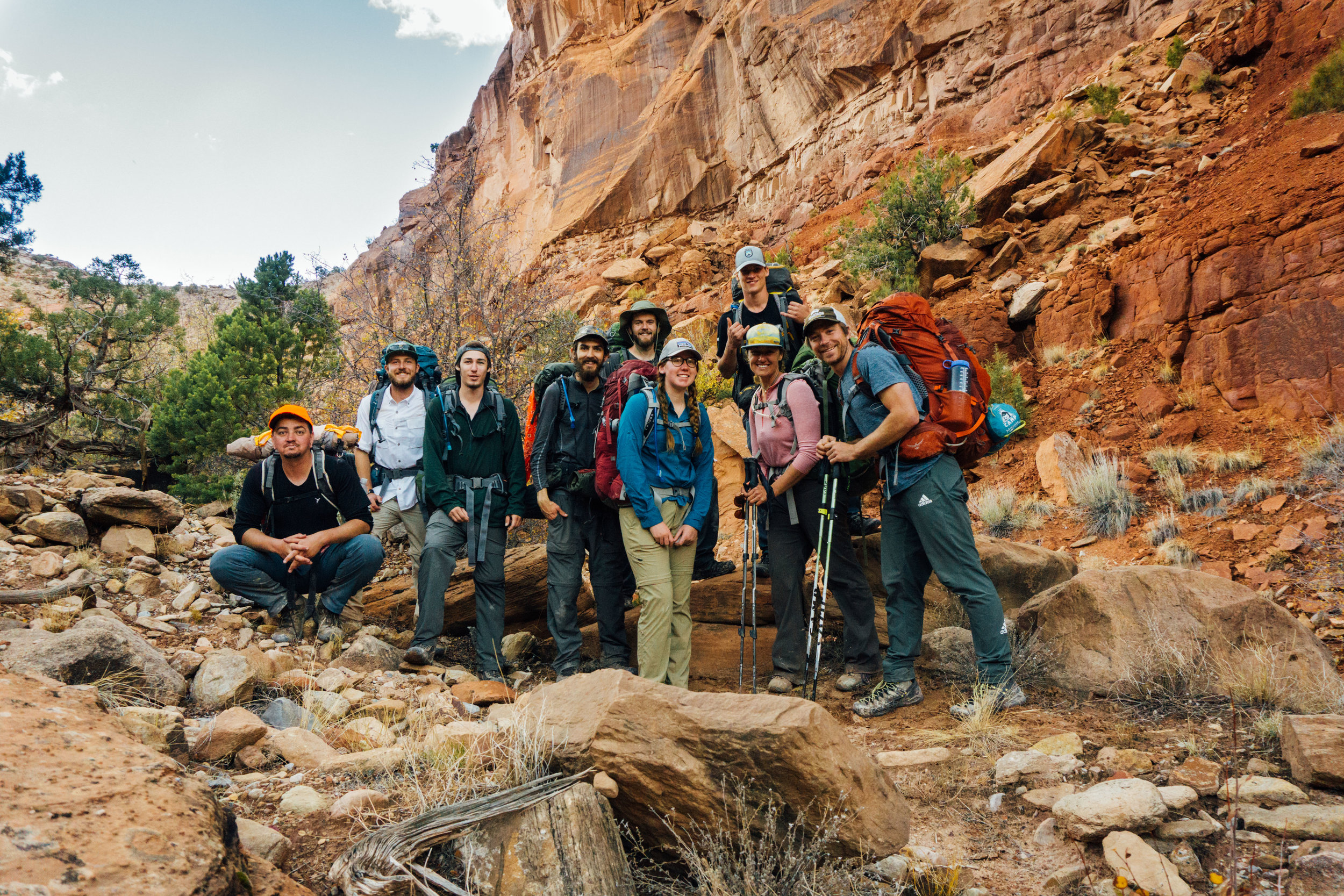
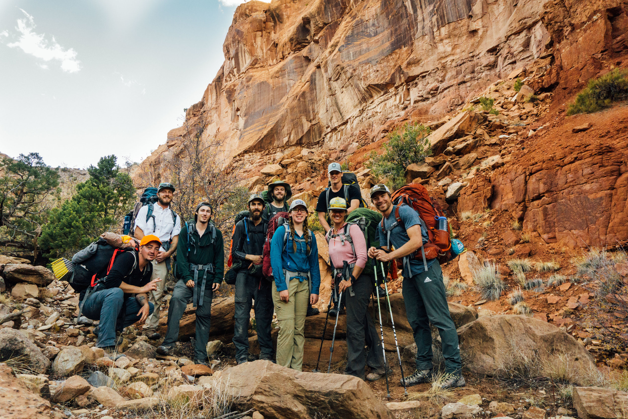
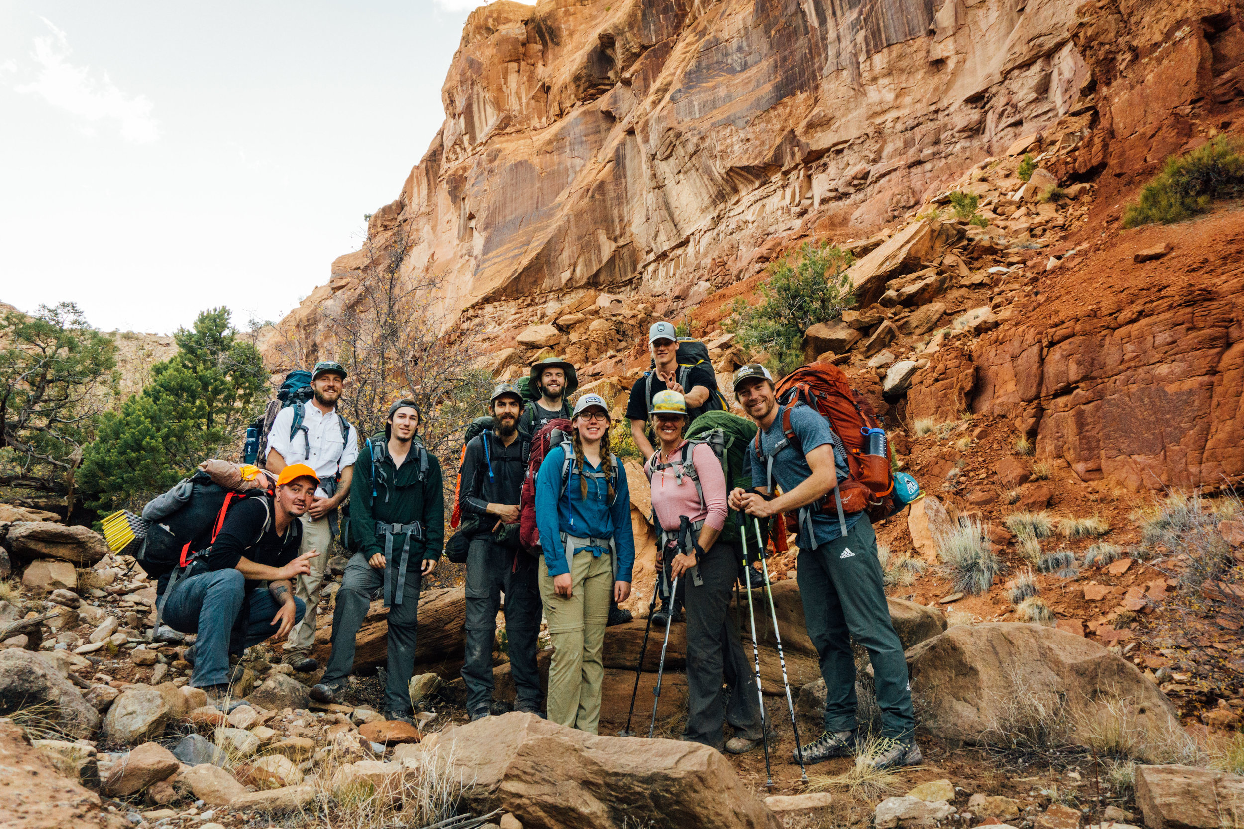
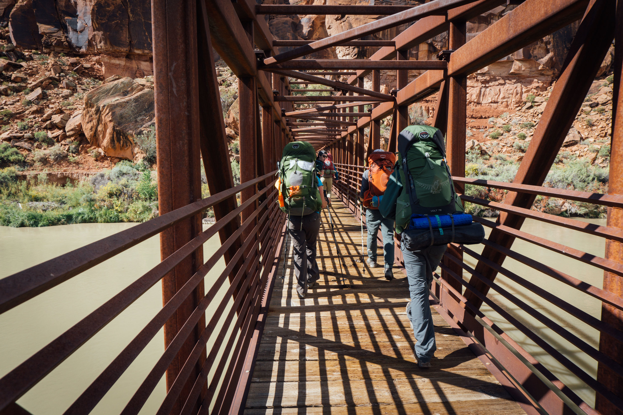
I recently tagged along on a Canyon Orientation class through Colorado Mountain College, based in Dominguez Canyon, Colorado (right after getting my butt kicked in the desert a few days prior…)
It was a beautiful canyon and amazing group of people to spend time with, despite the heavy initial rains and sever head cold I was battling (as such, I wasn’t motivated to take my camera out too much, unfortunately.) The trip was 36 miles total, over the course of 5 days.
Here are some notes about the route:
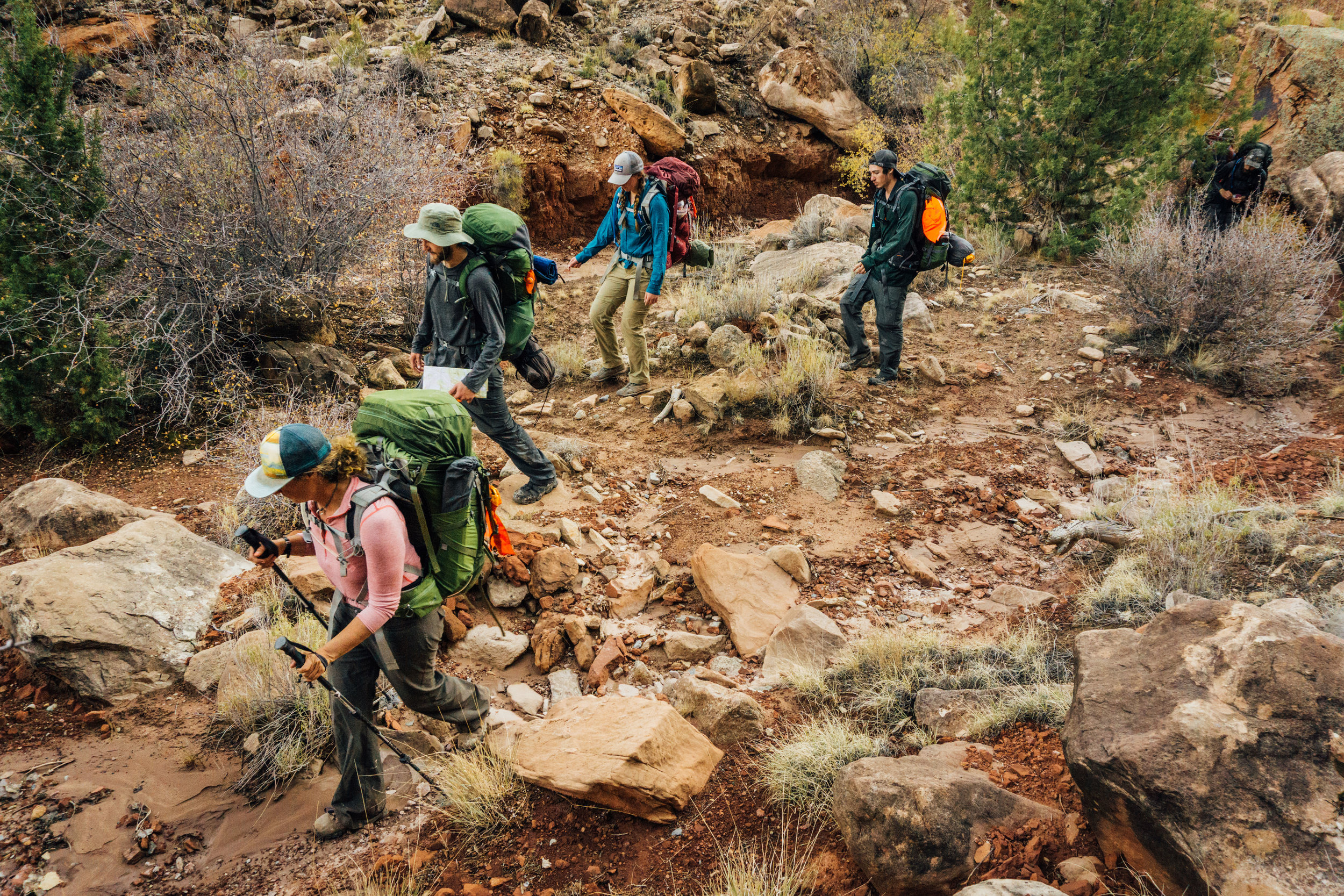
-Drinkable water was (of course) limited: Even after heavy rains, finding good sources of water proved difficult. Little Dominguez creek was running, however with a consistency of chocolate milk, our filters had a hard time dealing with the sediment and quickly clogged. Pre-filtering with a bandana, or using chemical treatment might be what I try next time. Traversing the mesa in between Little and Big Dominguez, our only source was Steamboat Spring, which looked more like a sulphur mud pit than a drinking source. If trying the route, I’d recommend carefully rationing and planning your water, and possibly even caching some halfway (there is road access near Dominguez campground).
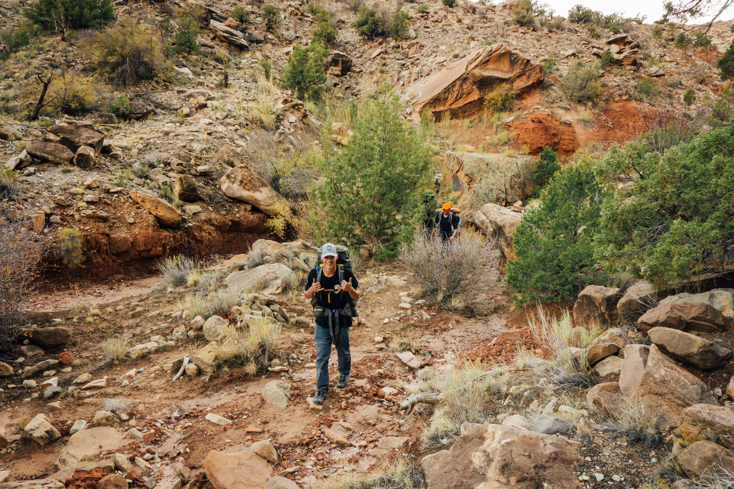
-Not too many people actually hike far into the canyons- we didn’t see anyone the whole time! It was great to get away and feel disconnected from the world for a bit. This has been one of my favorite desert spots I’ve been too.
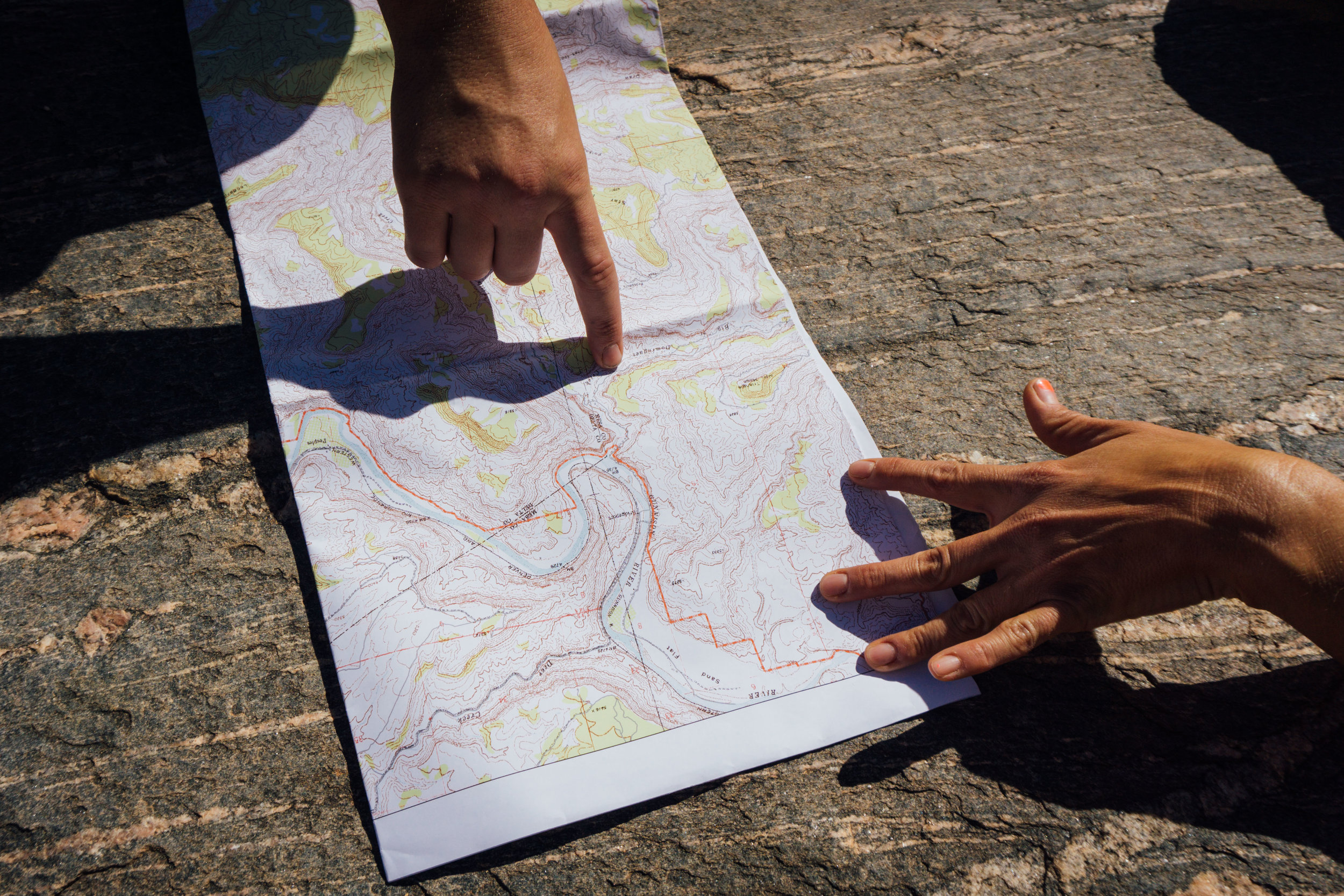
-If you want to try this backpacking route and are looking for a .gpx file for navigation, let me know! I have one but don’t know how to make it available in a blog post.
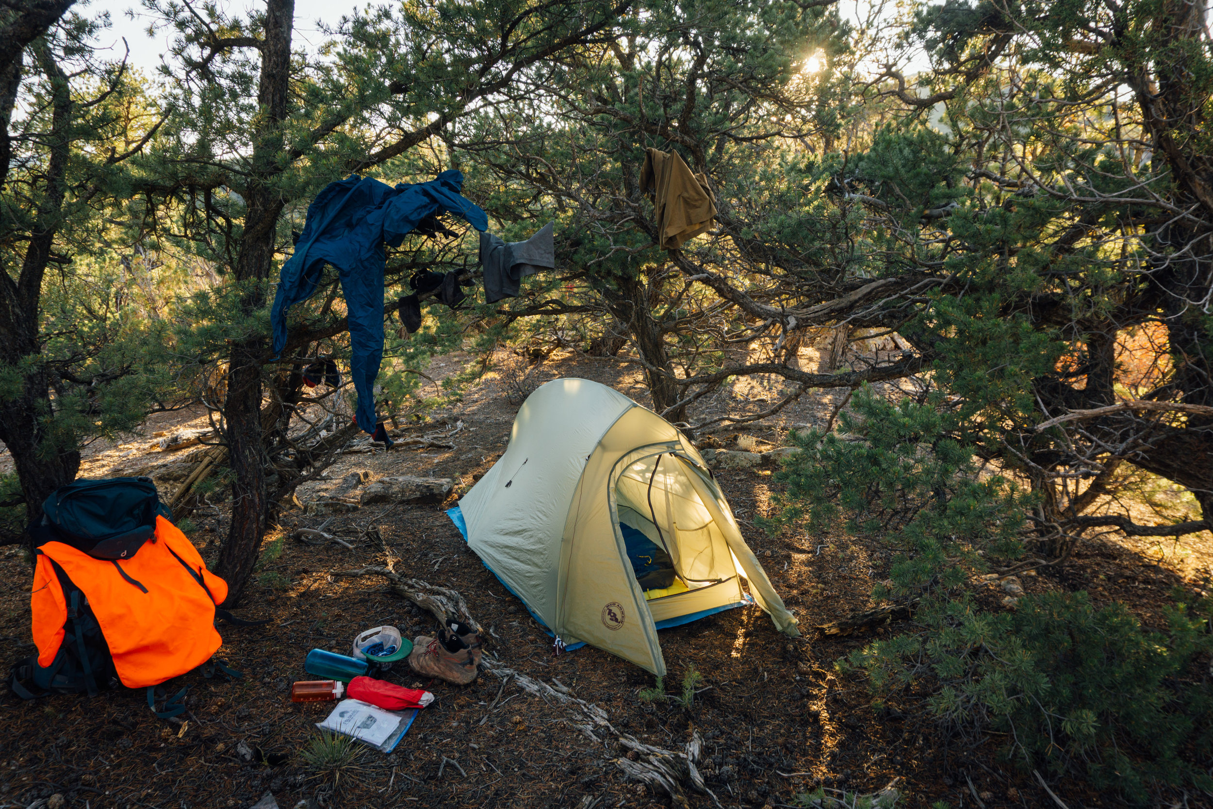
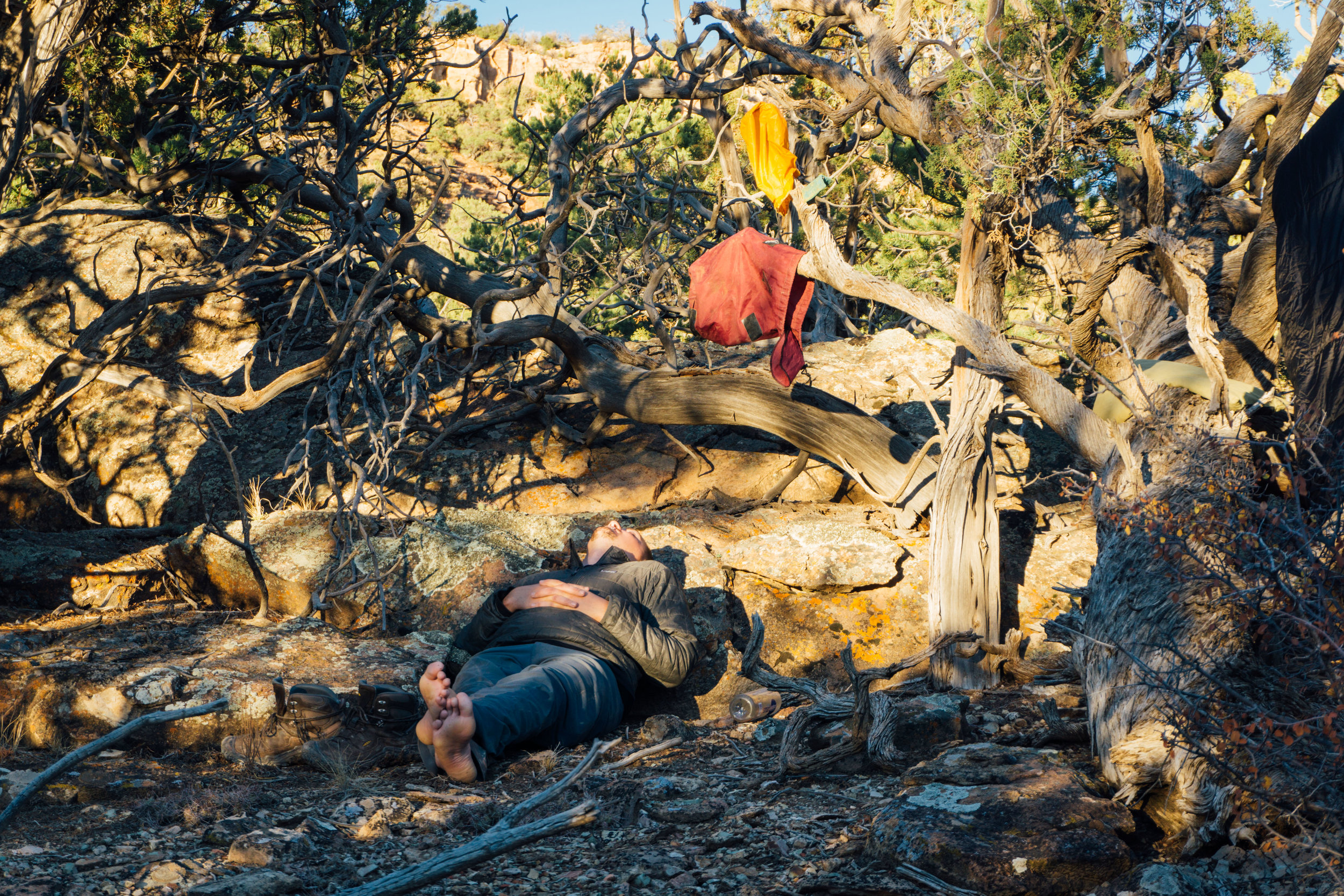
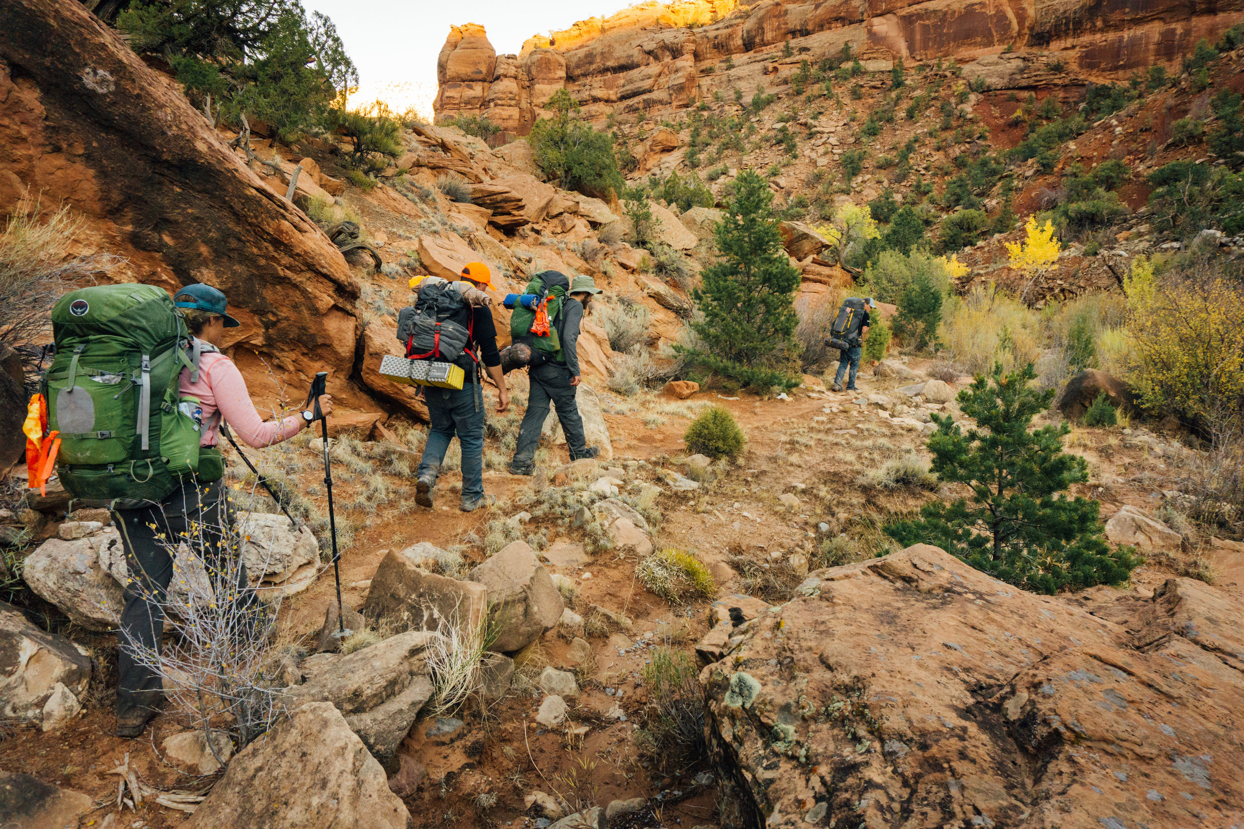
Here are a few photos from the canyon: